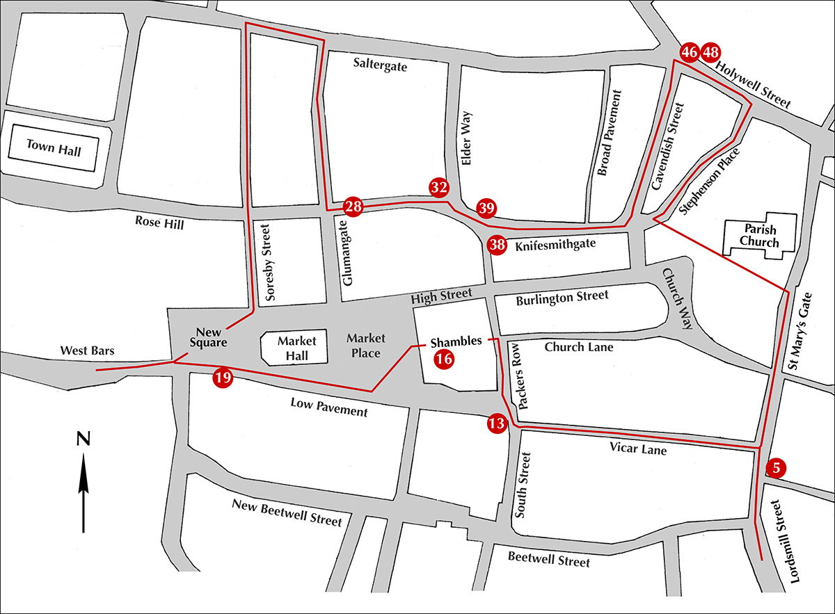
The numbers on the map refer to buildings on the trail. The most logical place to start is at Rykneld Square between the Parish Church and the Visitor Information Centre. Take the path through the churchyard to St Mary’s Gate, as this is where the earliest Tudor Revival buildings were erected.
However, inevitably, some of the trail is uphill particularly between points 20 (West Bars) and 22 (Saltergate). If this is a problem then the trail could be started from the car park on Soresby Street at points 21, just above the Rose Hill/ Soresby Street junction, or 22, on Saltergate (the highest point). Then the trail will finish at point 20. It is then possible to catch a bus from New Beetwell Street back to point 21; the number 39 bus is the most frequent.
You may download a simplified trail here.